Overview
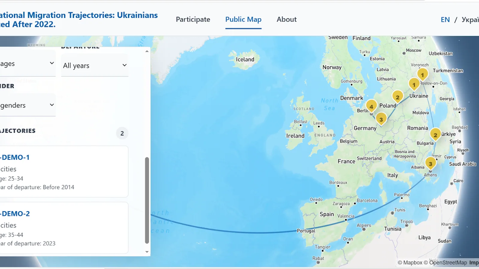
Multinational Migration Trajectories supports research participants as they document and review migration journeys on a bilingual map.
Submitted journeys remain distinct from public approved trajectories, allowing the interface to support consent, editing, moderation, and research visualization.
Challenge
Participatory migration research needs a map workflow that is approachable in two languages while respecting consent and separating drafts, submitted journeys, withdrawals, and approved public data.
Solution
The application combines Mapbox mapping and geocoding with Supabase, PostgreSQL, and Row Level Security. Participants can build and revise journey points, submit or withdraw a route, and explore approved trajectories with demographic filters. A dedicated demo mode makes the workflow easier to review.
Key Features
- 01English and Ukrainian interface
- 02Consent-first participant workflow
- 03Location geocoding
- 04Journey-point entry and route visualization
- 05Draft, edit, delete, submit, and withdraw actions
- 06Public approved trajectories
- 07Demographic filters
- 08Dedicated demo mode
Technology
Frontend
Database / Auth
GIS / Mapping
Infrastructure
Rima’s Contribution
Rima implemented the bilingual interface, consent-first journey flow, geocoding, route visualization, participant record lifecycle, approved public map, filters, Supabase policies, and demo mode.
What This Demonstrates
This project demonstrates participatory GIS, bilingual UX, privacy-aware data workflows, and spatial visualization for research applications.
Next step
Interested in a similar project?
Explore the live application, return to the portfolio, or get in touch to discuss a practical web, data, or geospatial product.